All BISI related information gathered on one site

Westerschelde intertidal zone

The BISI protocol for generic application (BISI v2) is available now. The Benthic Indicator Species Index (BISI) is specifically developed for quality status evaluation and evaluation of quality developments of benthic habitats. Compared to v1, BISIs (area specific indicator species lists with reference occurrences for comparison) are in v2 constructed in a standardized way at the level of ecotopes (or broad habitat types) which allows application in similar habitat within the same region. From these BISIs at ecotope level, area specific indices can be constructed surface area ratio based.

Specific assessment tools are developed and made available for:

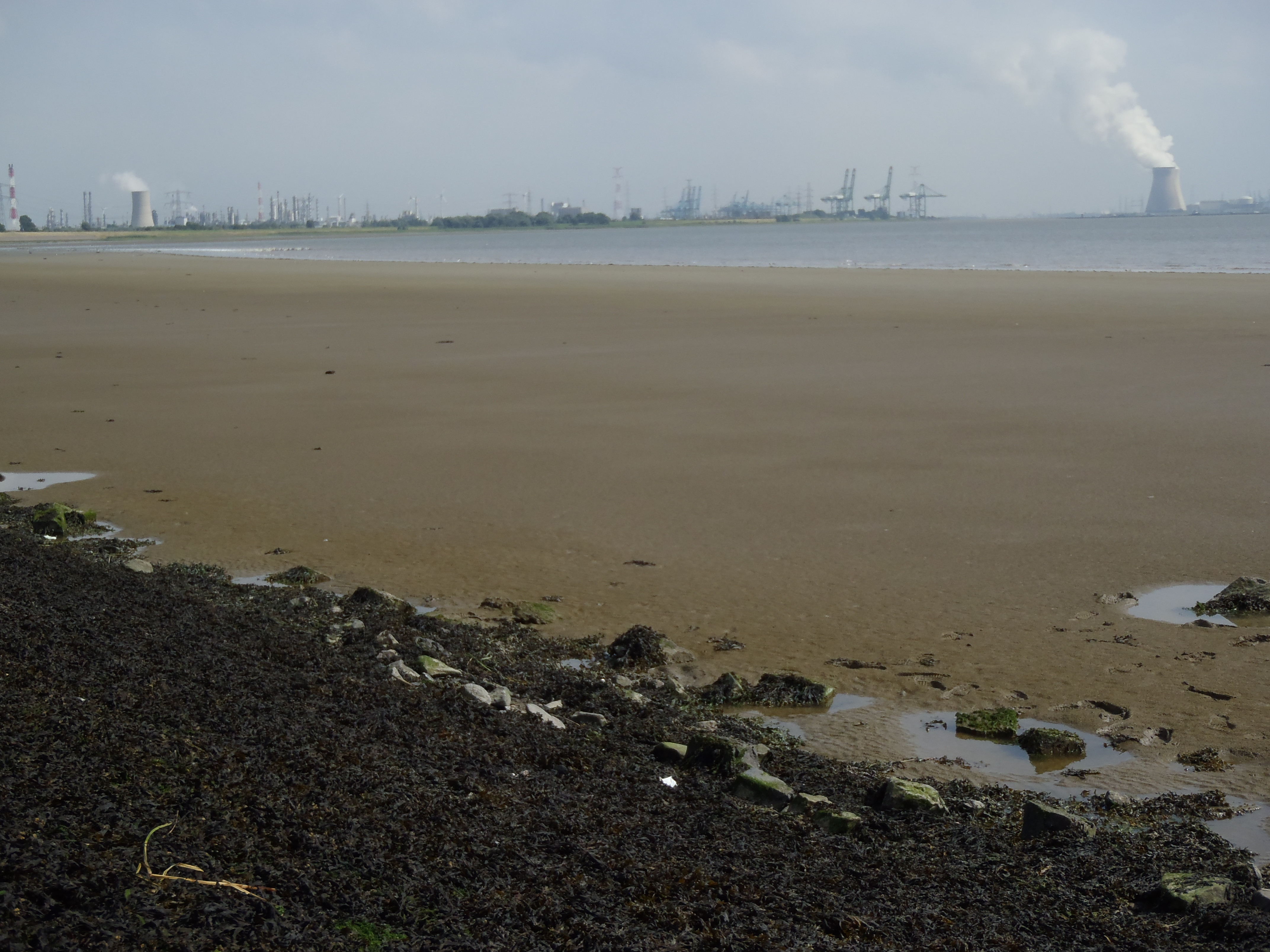
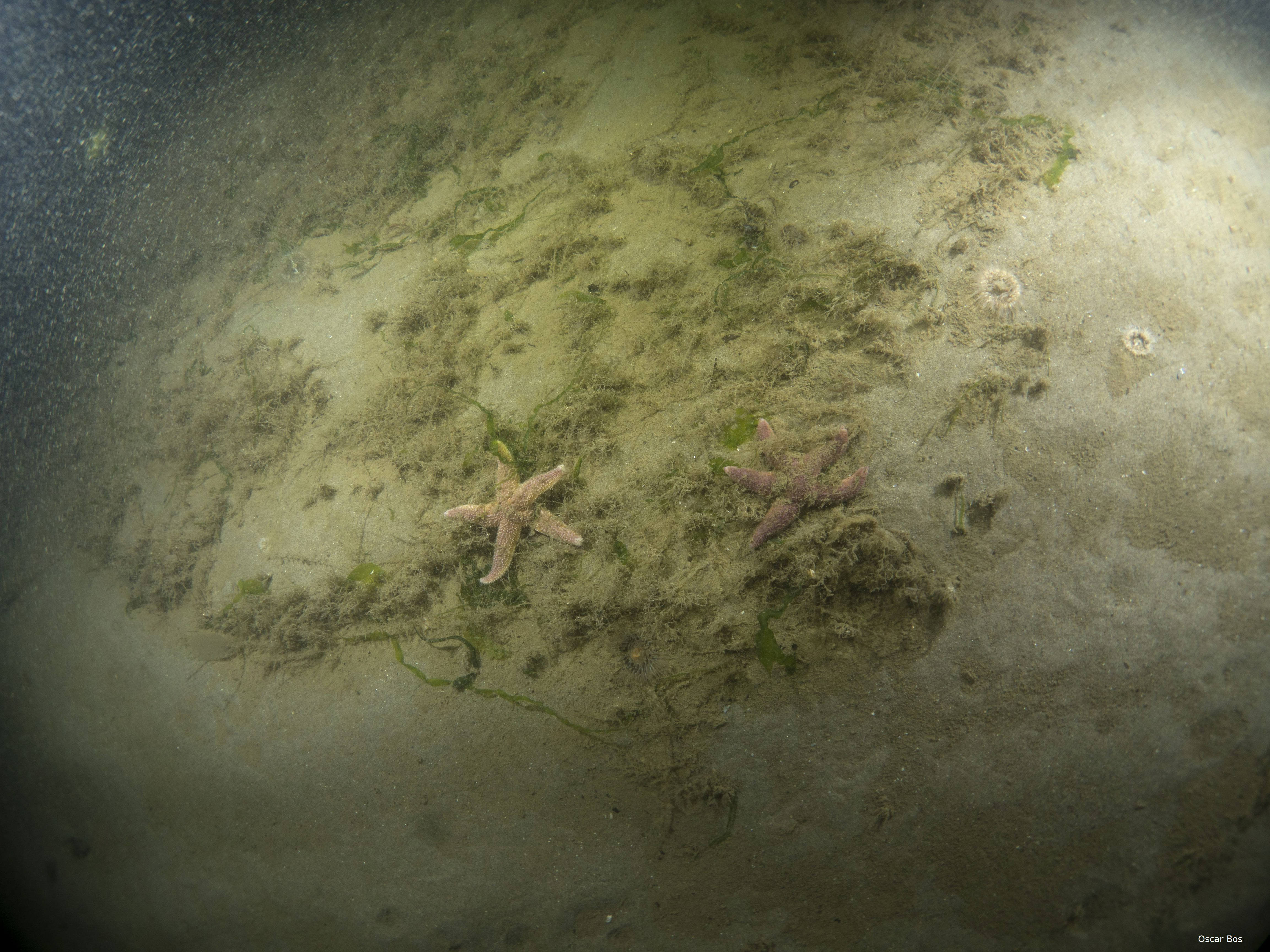
  • Application in soft sediment habitats of OSPAR region II (Greater North Sea region) distinguishing 6 broad habitat types and make use of approximately 0.1 m2 grab or (box)core monitoring data.
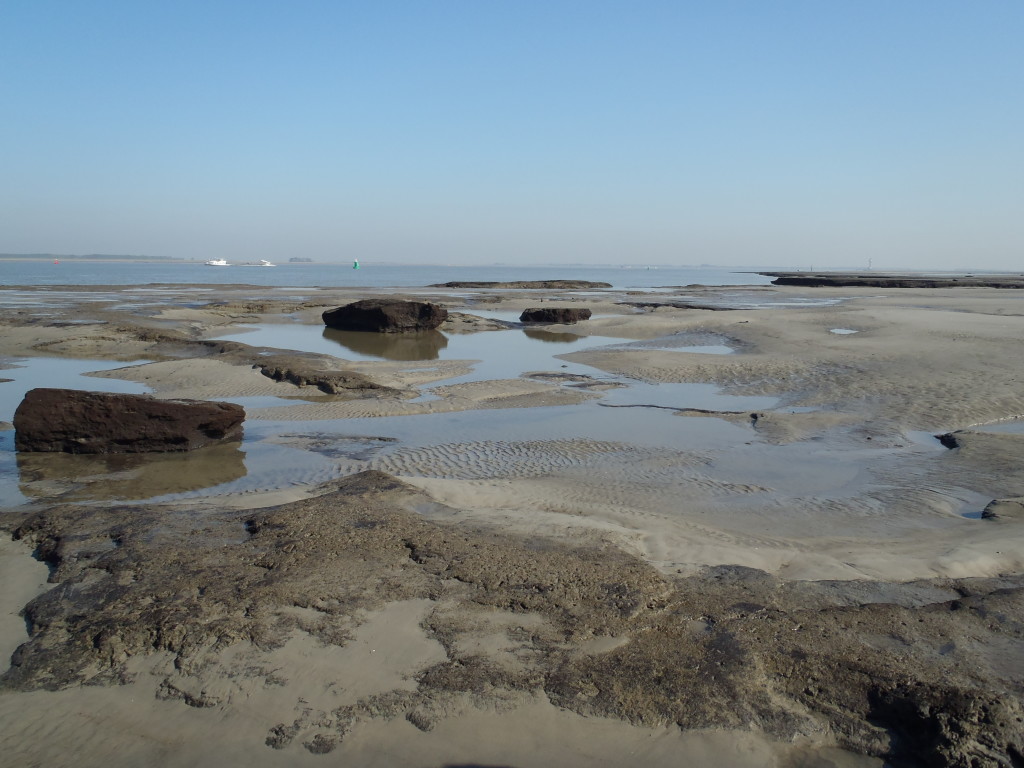
  • Application for marine Habitat Directive (HD) habitat types of the Dutch ‘Delta-waters’, the Wadden Sea and the coastal zone of the North Sea, making use of benthos data from two categories of sampling techniques (core – and benthic dredge related samples).
  • Application in distinguished areas of the Dutch North Sea with regards to the MSFD, the HD and evaluation of effectiveness of management measures, making use of benthos data from core – and benthic dredge related samples in (most) soft sediment areas, and the combination of video and grab sampling in areas with gravel and boulders.

Tools are available for direct application in similar situations (habitats x monitoring techniques), or new BISIs can be constructed according to the protocol for other types of habitats, geographical regions and/or monitoring specificities.

We are very interested in the results and experiences from testing or application of existing assessment tools or new constructed BISIs specific for other situations based on your own monitoring data. Therefore all BISI related documents (including with regards to earlier versions) and assessment tools are now gathered on one site: http://ecoauthor.net/bisi/. You will stay informed on new developments, applications and/or results via the BISI site. Please contact us if we can be of help or to share your findings.

The focus of current international quality status assessments (e.g. MSFD – and OSPAR assessments) with regards to seafloor integrity is predominantly on large-scale assessment of expected impact from dominant pressures taking sensitivity of habitats into account. It is however of importance to verify the quality status with benthic observations, which can be related to specific impacts and habitat changes. Herewith key processes and management options can be identified or evaluated. The BISI could potentially fill in this gap.

Benthic Indicator Species Index (BISI) developed for marine habitat types in Natura 2000 areas.

View on the Western Scheldt with the skyline of the harbours of Antwerp – S. Wijnhoven (2016)

Benthic Indicator Species Indices (BISIs) specifically developed for quality evaluations of marine Habitat Directive (HD) habitat types and relevant Natura 2000 areas of the Dutch Delta waters, the Wadden Sea and the coastal zone of the North Sea, are available now. Specifically BISIs have been developed for HD-habitat types H1160, H1130, H1110a, H1140a and H1140b*. BISIs have been developed according to BISI v2 (protocol update in progress), taking dominant ecotopes (defining the main distinguishing communities) as the basis to select indicator species for which internal reference occurrences (as used in the indicator) are calculated surface-ratio based. This allows application of the BISI in similar habitats beyond the current Natura 2000 areas for which the indicator has been elaborated and tested here. The developed BISIs are presented with proposals for monitoring programmes with sufficient power to detect potential quality differences, as much as possible making use of current recurring monitoring activities. Indicator development and suggested monitoring programmes for the Eastern Scheldt (Oosterschelde), Western Scheldt (Westerschelde), Wadden Sea (Waddenzee) including Eems-Dollard and intertidal areas in the coastal zone of the Dutch North Sea, are presented in:

Wijnhoven, S. & Van Avesaath, P.H. (2019). Benthische Indicator Soorten Index (BISI) voor mariene habitattypen in Natura 2000-gebieden. Uitwerking beoordelingsmethodiek inclusief monitoringvoorstel voor mariene habitattypen van de Habitatrichtlijn gelegen in de Deltawateren, het Waddenzeegebied en de kustzone van de Noordzee. Ecoauthor Report Series 2019 – 03, Heinkenszand, the Netherlands.

With Assessment Tools for the developed BISIs in Excel-format available from here. Background information on the calculations and test results as indicated in the report is available on request.

(At the moment the report is only available in Dutch)

*Respectively ‘Large shallow inlets and bays’ (H1160), ‘Estuaries’ (H1130), ‘Sandbanks permanently flooded – tidal area’ (H1110a), ‘Intertidal mud flats and sandbanks – tidal area’ (H1140a), ‘Intertidal mud flats and sandbanks – North Sea coastal zone’ (H1140b).

Quality status benthic habitats Dutch North Sea

Example of H1110b – photo O.G. Bos.

The Ecoauthor report on the quality status and developments of benthic habitats and MSFD-areas of the Dutch North Sea is now available. The report presents the results of the application of the Benthic Indicator Species Index (BISI) on the 2015 monitoring data (considered the T0 as various measures of the Dutch Action plan Marine Strategy were just or still had to be implemented in 2015) and compares the quality status with the recent historic developments.

Some of the most important findings are:

– A stagnation and recent decline in the benthic habitat quality of offshore areas like the Frisian Front and Central Oystergrounds after years of improvement. This might be the result of a gradual movement of (seafloor disturbing) fisheries from the coastal zone to the offshore regions as suggested by results of specific BISI analyses (focussed on specific indicator species for seafloor disturbance) and the possible first improvements as observed in coastal areas.
– The permanent large impact of amongst others nutrients and pollutants (summarized as ecological disturbance) on benthic habitat quality, especially in the coastal zone, but also extending to further offshore areas like the Doggersbank. Although ecological disturbance is the most important pressure in the area of the Doggersbank, the observed decrease in benthic quality during the last two decades seems to be the result of increasing seafloor disturbance.

The study was commissioned by the Dutch Ministry of Agriculture, Nature and Food Quality (LNV) in consultation with the Ministry of Infrastructure and Water Management (IenW), and executed in cooperation with Wageningen Marine Research (WMR).

The entire report can be downloaded from here (at the moment only in Dutch, but an English translation is foreseen).

Wijnhoven, S. (2018). T0 beoordeling kwaliteitstoestand NCP op basis van de Benthische Indicator Soorten Index (BISI). Toestand en ontwikkelingen van benthische habitats en KRM gebieden op de Noordzee in en voorafgaand aan 2015. Rapport Ecoauthor & Wageningen Marine Research. Ecoauthor Report Series 2018 – 01, Heinkenszand, the
Netherlands.

Annex 1 ‘KRM factsheet D6C3 Benthische habitats kwaliteit (BISI)‘ is available from here.